
Roll Down Shutters Add Security and Value to Your Home
June 24, 2020
Custom Front Entries
October 6, 2020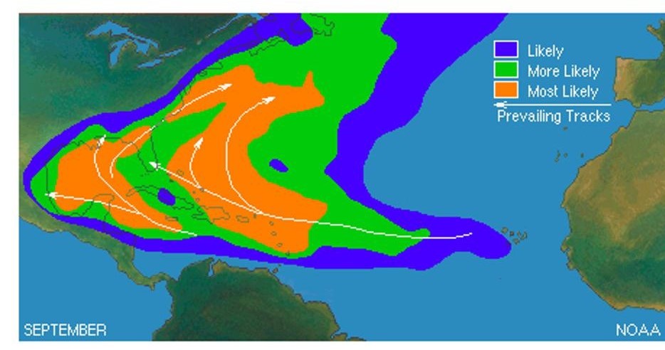
Are you paying attention to the heat in Florida right now? According to the National Weather Service – Key West, July 1st marked the 46th daily warm minimum temperature record that was tied with or set during the first half of 2020. The same office also tweeted on July 2nd, “It also marks the 10th consecutive such record — with this morning’s low (84°) on track to tie again.” On the same day, University of Miami meteorologist Brian McNoldy tweeted, “And we now have an 11th consecutive day with a 103°+ heat index in #Miami. #heatwave #flwx.” Much of the country will get to experience extreme heat during 4th of July weekend so be careful. The temperature records are certainly jaw-dropping, but another Tweet by McNoldy caught my eye. He pointed out that the water temperature at Virginia Key, Florida on July 2nd was the hottest recorded at that site (92.5 degrees F). When I saw that statistic, my immediate thought was that the Atlantic hurricane season “fuel” is currently high octane.
Let’s review some basic information about hurricane season. One of the most important pre-conditions for tropical cyclone development is that the ocean waters must be at least 26 degrees C (or 79 degrees F). That’s the low octane stuff. You read a few seconds ago that some water temperatures are being measured at above 90 degrees F. The map of current sea surface temperatures in the Atlantic basin show temperatures in the 28 to 30 degrees C (82.4 to 86 degrees F) range with pockets of even hotter water. There is a particularly warm swath of water in the western Atlantic and Gulf of Mexico.
Climatologically, hurricane activity starts to increase in August with a peak in September. This progression is, in part, because of the heat characteristics of water. Water has a very high specific heat. This simply means that it requires significantly more energy to change the temperature. Typically, sea surface temperatures and other conditions are optimized during the latter part of summer even as air temperatures start to increase in late spring.
One of the reasons Dr. Phil Klotzbach and his colleagues at the Colorado State University (CSU) predict an above-normal hurricane season is related to the sea surface temperatures. According to a press release issued by CSU in recent months, “Tropical and subtropical Atlantic sea surface temperatures are currently warmer than their long-term average values and are consequently also considered a factor favoring an active 2020 Atlantic hurricane season.”
Keep your eyes on the tropics!
(Shepherd, 2020)


